Services

Asset Inspection
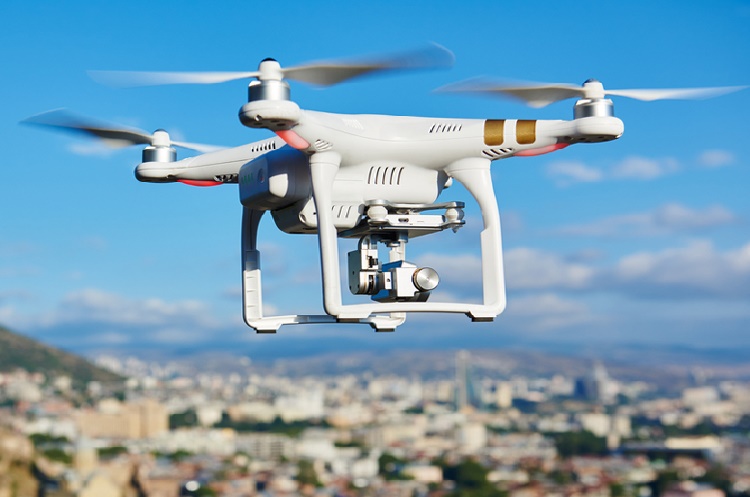
Unmanned Aerial Vehicles, or UAVs, excel at rapidly acquiring data from vantage points inaccessible to humans.When surveying challenging terrain, drones make it no longer necessary for human operators to physically access and measure points in hazardous or difficult-to-reach locations.
read more...

Aerial Survey and Mapping
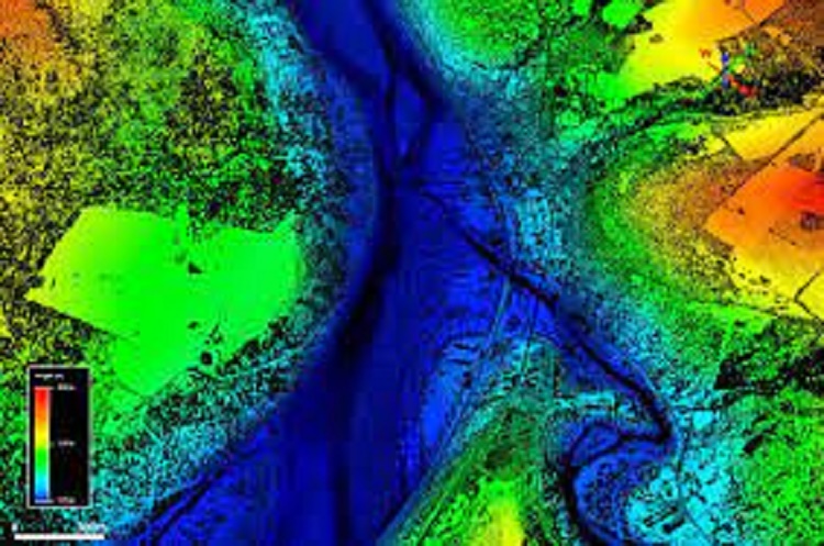
A core business at Arian Land since 2013 has been the professional and reliable delivery of high-quality aerial mapping and survey data. With qualified surveyors on staff, we can stand behind the accuracy of this work.
read more...

Aerial Lidar
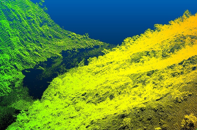
We have expanded our fleet to 12 aerial survey aircraft operating throughout Australia, equipped with a range of digital aerial cameras and airborne LiDAR systems. Our airborne operations team can respond rapidly to your project, where ever the location.

Specialist Sensor and Services
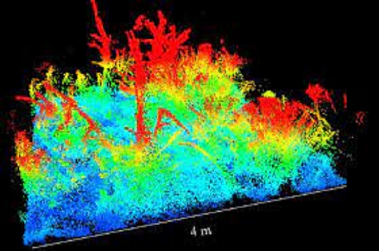
Whilst the vast majority of our work is associated with capturing images of LiDAR data to create 3D representations of structures or terrain, we have many other solutions we can offer. Drones are a tool that can carry a wide range of payloads to complete an array of applications.