Client Industries

Providing data for Civil Engineering projects is one of Arian Land Survey;s core businesses
Asset management starts with an inventory of all the assets, usually with a location reference hyperlinked to a database of asset details.
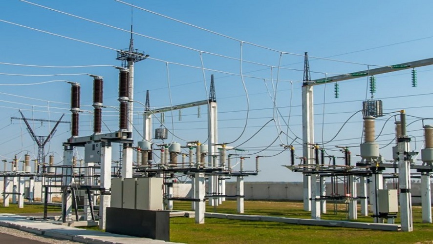
We do structure, such as a home or business, or it may be part of a microgrid, such as at a major industrial facility, a military base, or a large college campus.

We are dedicated to providing reliable water and sanitary sewer services responsibly and efficiently for the health and safety of our community with exceptional customer service, integrity and pride. .
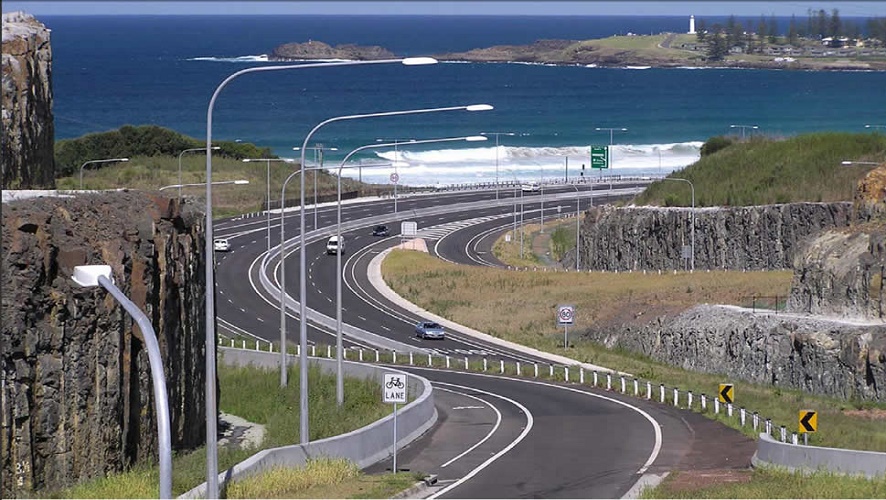
Arian land Survey work alongside our surveyors and assist in the mapping of optimal rail routes, determining grades, slopes, and curves in different sections.

Arian Land Survey includes an ATLA boundary survey, which shows the boundaries of the cell tower and its associated land parcel, in addition to information on easements, or the right to cross the cell tower land.
Our team can provide a range of services including, Aerial Surveying & Reporting, Environmental Monitoring, Asset Management, Utilities & Wind Turbine inspection/ blade scanning, Building Modelling (BIM) and more. If it involves a drone, we can do it.
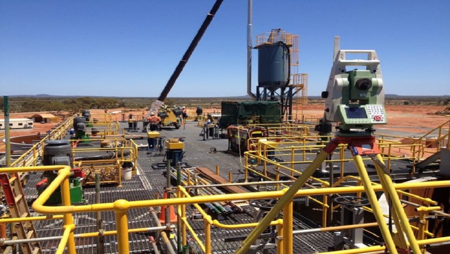
Arian Land Survey has been working with land developers and their consultants to solve their data needs since 2019. With a variety of drones at our disposal we operate safely within the urban environment.
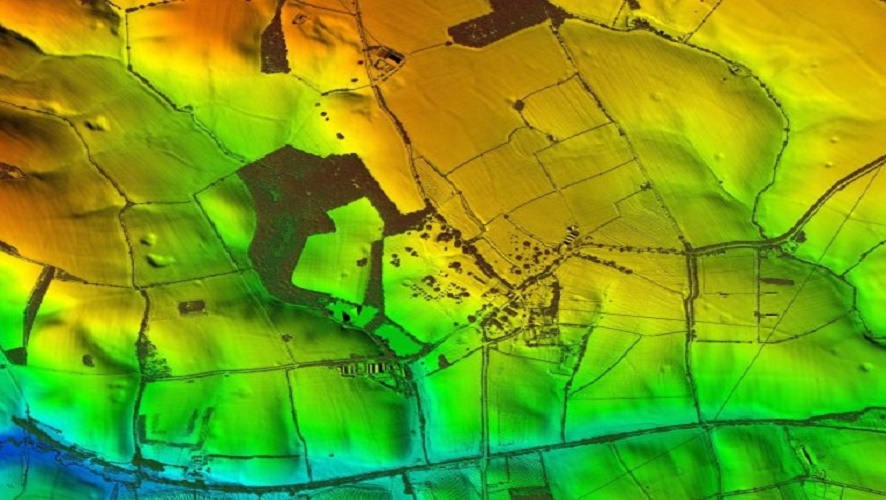
We do use portable XRF analyzers to perform ore grade control to figure out where the most profitable ore bodies are, in terms of location and mineral concentration variability..

We conduct surveys throughout the ship's life (building new ship, annual survey, interim survey, special survey) to ensure standards are maintained;

Supported in-house with our use of the latest AutoCAD Map, Blue Sky- Align DB/Skyline, Lightning, Carlson SW Civil Design Suite, Trimble Business Center and our proprietary LandScape GIS software, we guarantee accurate and timely results every time.
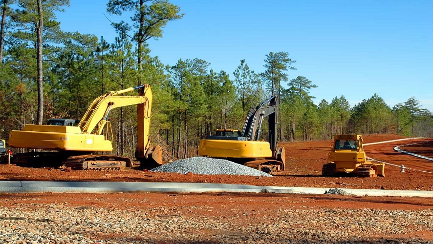

Drone survey and inspection services has been demonstrated to assist with the development and maintenance of solar and wind energy developments.

We conducted a waterways survey which will assist us in plugging the gaps identified and to more broadly understand how you are using our waterways and why - stay tuned, a survey report is underway.

The high-resolution aerial imagery can be used to identify existing features either through visual observation or automated classification techniques. We offer a cost-effective tool for planning and monitoring the progress of environmental works programs.
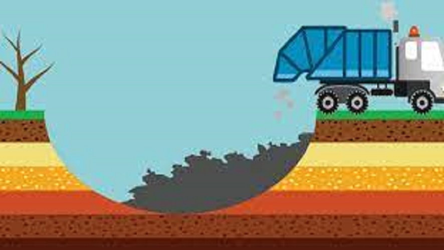
We have flown over 300 landfill surveys across Australia..

Developed a successful drone-based algorithm method for tree counts, regeneration species analysis, tree height, diameter and volume derivation, plantation health and post-fire analysis. We apply a dedicated fixed-wing drone equipped with specific cameras, applying optimised camera settings and lenses.

We have right insurance coverages for our land surveying business .Whether you are seeking a simple inspection of roofs, or 3D models for forensic analysis, we have the tools and skills to assist.