Aerial Lidar

Services
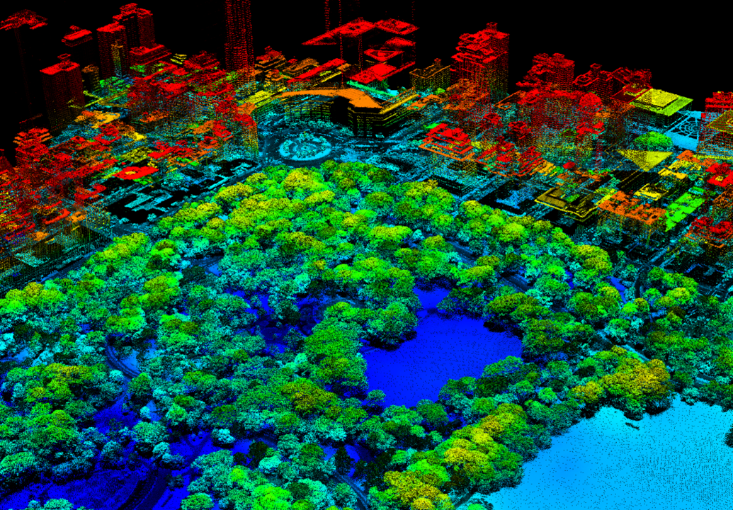
LiDAR is the process of using a laser beam coupled with a rangefinder to capture the shape and position of all visible surfaces and objects. Aerial LiDAR performed using a laser mounted to an unmanned aircraft system (UAS), or drone, is best used to obtain dense 3D data over larger areas
LiDAR is sometimes referred to as High-Definition Surveying (HDS) or laser scanning because its use of a laser offers greater data density and increased surface coverage for a higher resolution overall survey. The average laser scan yields more than one hundred million data points. These data points can be grouped into a point cloud database and manipulated using a variety of software applications to produce as-built drawings, contour maps, colorized slope maps, and other deliverables.
Typical cost-effective uses of LiDAR include;
- Survey of land under dense vegetation
- Assisting in the 3D modelling of complex or shiny structures
- Identifying vegetation encroachment into powerline corridors
- Catenary analysis of conductors
- Covering large areas where the data is needed quickly after capture.