Services
aerial survey and mapping
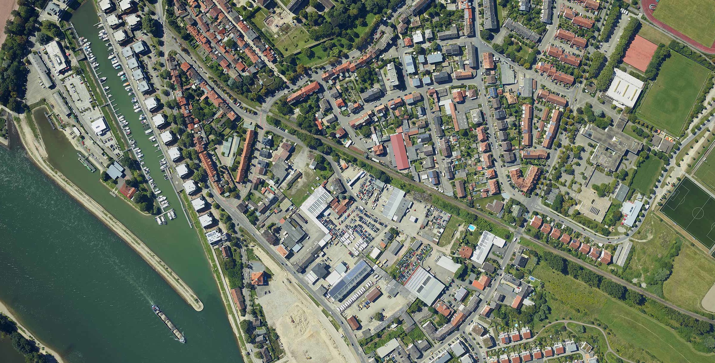
Phase One offers precision aerial 2D and 3D mapping cameras andphotogrammetry solutions that simplify aerial survey and mapping processes.
With a diverse and easy-to-integrate line of products, Phase One provides unlimited, accurate, and reliable aerial data that enables users to effortlessly execute photogrammetry and mapping missions, capture high-resolution images, and perform 2D and 3D mapping.
Phase One Geospatial Solutions also offer 4-band, combining NIR and RGB aerial imagery for various agricultural and forestry applications.