Our
We utilize modern field and office equipment enabling us to work accurately and efficiently. All drawings are done in a CAD system, maintaining an industry standardized format that is incomparable.


Arian LAND SURVEYOR, IS A PROFESSIONAL LAND SURVEYING COMPANY
Our competent field and office staff are highly experienced and are constantly striving to ensure that strictly the best possible service is provided to our clientele.
WE FIND WAYS
Our surveyors will perform research, survey the property and prepare a survey map that will reveal:
- If there are rights of others to use your property through easements for utilities or rights-of-way . The location of improvements such as buildings, fences, driveways, walkways, and swimming pools. Potential encroachments that may cause disputes, such as a fence or driveway of a neighboring property.

Core Services
Asset Inspection
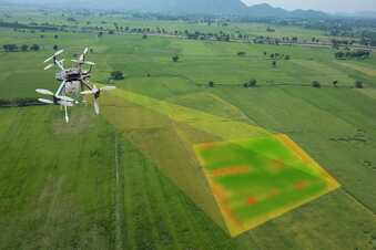
Unmanned Aerial Vehicles, or UAVs, excel at rapidly acquiring data from vantage points inaccessible to humans.
Aerial Survey and Mapping
A core business at Arian Land since 2013 has been the professional and reliable delivery of high-quality aerial mapping and survey data.
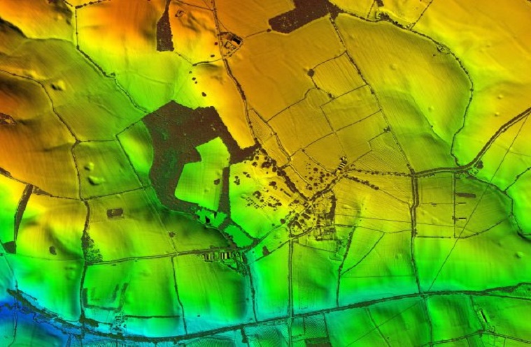
Aerial Lidar
We have expanded our fleet to 12 aerial survey aircraft operating throughout Australia, equipped with a range of digital aerial cameras and airborne LiDAR systems.

